
Basin weather monitoring
The Owyhee range creates rapid wind shifts. Check real-time runway 13/31 parameters before preflight to ensure safe backcountry operations in our noise-sensitive area.
Runway conditions
Sands Basin operates on a strictly restricted basis. These live micro-climate parameters dictate safe approach windows and departure profiles for all invited aviators.
12 KT
Max Crosswind Limit
3,100 FT
Runway 13/31 Length
2,250 FT
Field Elevation
AirWX
Direct Feed Active
Local turbulence off the Owyhee hills can compromise aircraft performance. Always verify the digital altimeter before initiating your descent.
Airpark Safety Desk
Managing basin winds
The localized micro-climate at Sands Basin requires active piloting. Downdrafts from the adjacent ridges often impact the final approach to runway 13/31, demanding strict airspeed management.
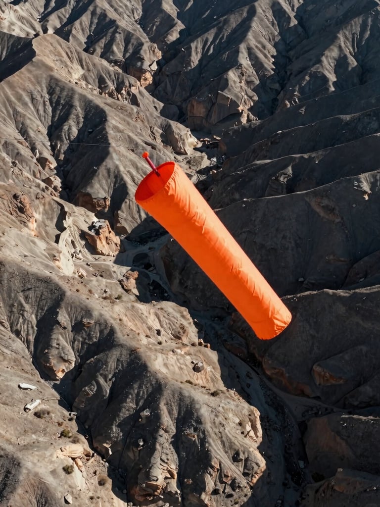
We maintain our wind sock and automated weather station to provide real-time telemetry. Pilots must remain alert to sudden directional shifts during morning thermal transitions.
Prior permission is mandatory
Sands Basin is a private, noise-sensitive facility. Do not attempt an approach without an explicit invitation, a thorough briefing, and verified local weather telemetry.
Safety remains our absolute priority. Visiting pilots who bypass the mandatory prior permission protocol compromise our community relations and runway safety.
Timber Basin Airpark ID24
Private Airpark. Prior Permission Required.
Contact
TIMBER BASIN AIRPARK, INC.
530 Timber Basin Rd
Sagle, ID 83860
208-606-0727
© 2026 Timber Basin Airpark, Inc. · ID24
PRIVATE USE ONLY · PPR REQUIRED